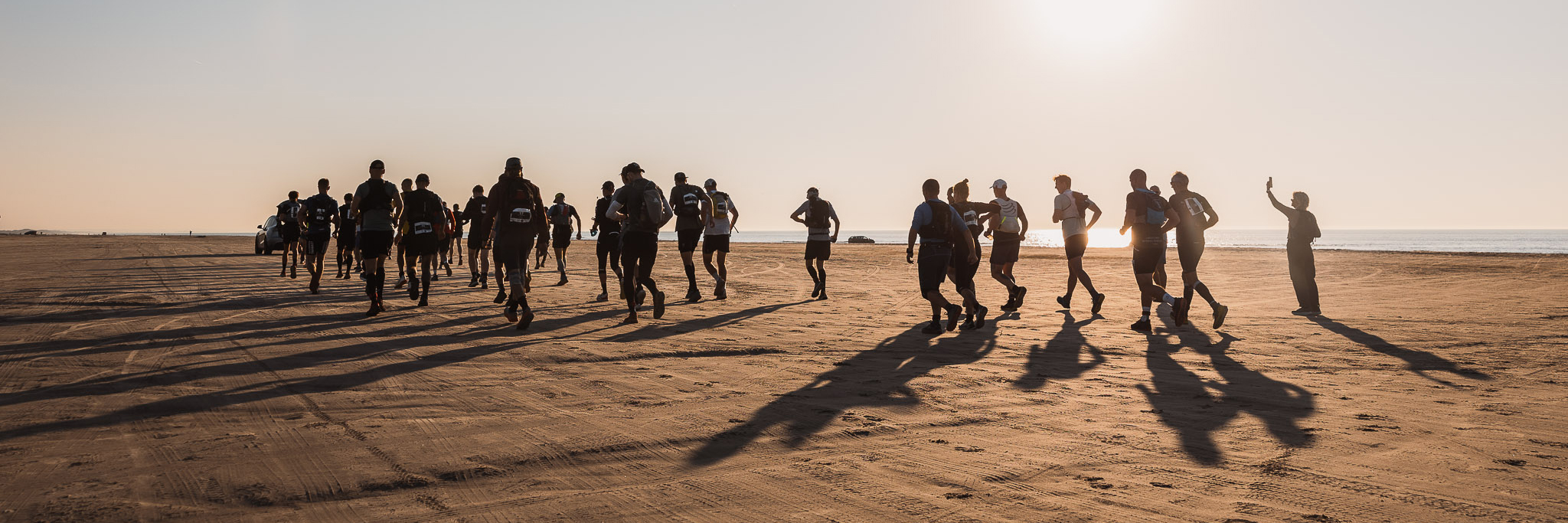
The Course #
The course spans all of Thy National Park and beyond, from Løkken in the north to Agger in the south. The course primarily follow the West Coast trail and the old lifeboat road but with deviations throughout. The running surface is a mix of sandy beaches, small paths, single tracks, wheel tracks, gravel roads, compact dirt roads, and a few paved roads through some of the villages and on the bike path between Hanstholm and Klitmøller.
The interactive map found below shows the entire race area. The red pins indicate the location of the start areas and the orange pins indicate the location of the aid stations.
All courses are clearly marked using small orange flags. For participants doing 50 miles, 50 km, 24 km, and 12 km it is sufficient to follow the flags. However, the first half of the 100 miles course is not marked and participants must use a GPS unit for navigation. It is the participant’s own responsibility to bring a GPS unit and load the provided GPX file.
GPX files can be downloaded using the links below.